
Field Guide / Clouds & Weather Signs
Nimbostratus
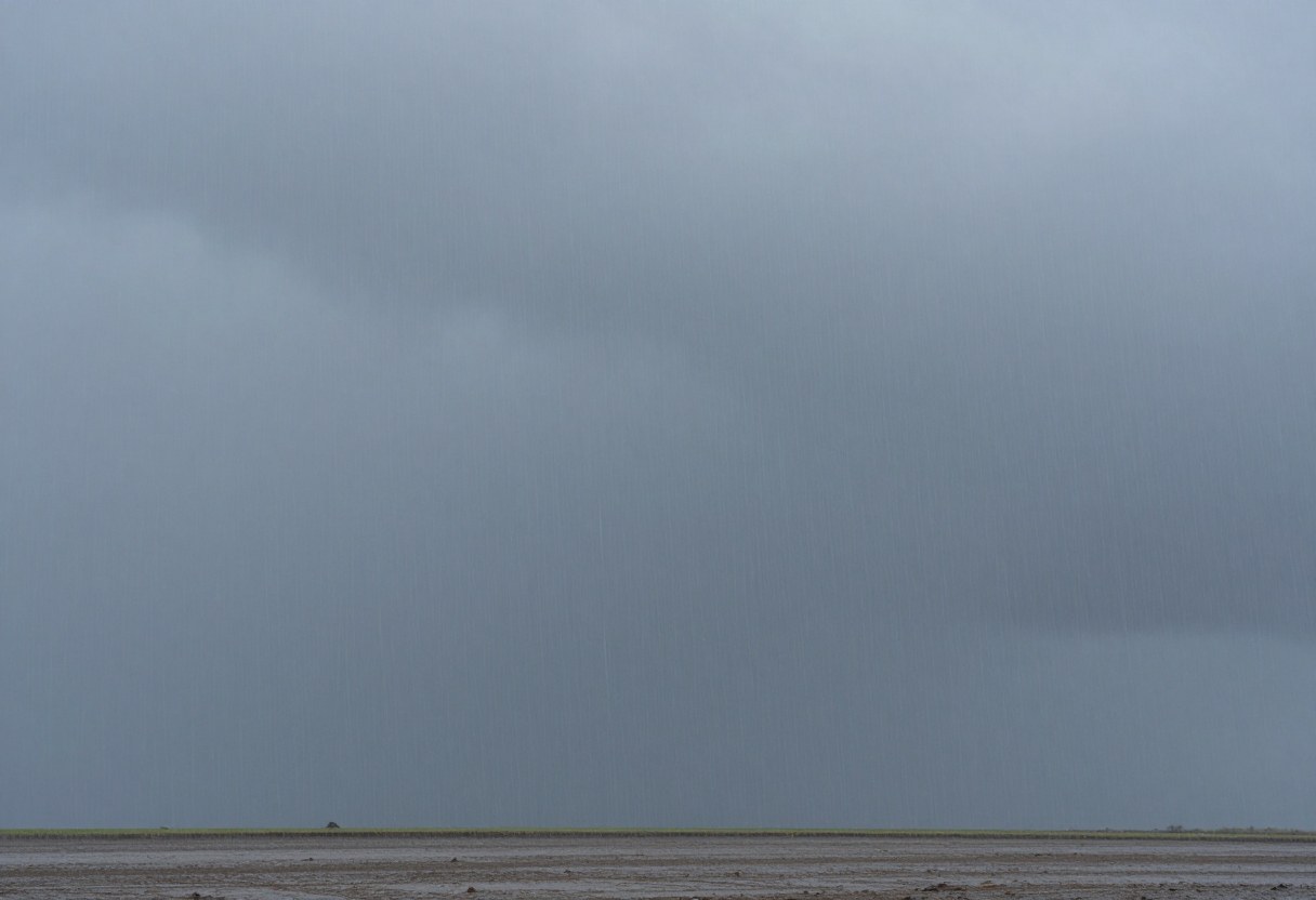
A thick, dark gray layer that blocks the sun and brings steady rain or snow for hours.
- Height
- Low Clouds
- Abbreviation
- Ns
- Typical altitude
- Low to mid-level, with a base often below 6,500 ft (2,000 m) and a top much higher
- Usually means
- Rain or snow likely
Safety: Cold rain and wind can cause hypothermia even when the air is well above freezing. Keep a dry layer, eat and drink regularly, and head for shelter if you start to shiver or feel confused.
How to recognize it
- A dark gray, thick layer with a ragged, hard-to-see base.
- It blocks the sun completely.
- Steady rain or snow is falling, often with scraps of lower cloud below.
What it usually means
- Steady rain or snow lasting several hours or more.
- Often the final stage of a warm front, after cirrostratus and altostratus.
- Lightning is uncommon, which separates it from a thunderstorm.
What to do outdoors
- Expect a long, wet period and plan for it: waterproof layers, a dry set of clothes, and a good camp setup.
- Be careful near streams and low ground, where water can rise.
- Wet and wind cause hypothermia even above freezing.
Often confused with
- Altostratus: thinner, with a dim sun showing and no steady rain yet.
- Cumulonimbus: towering, with lightning and heavy bursts rather than steady rain.
Field notes
Nimbostratus is the cloud of an all-day rain. It can last long enough to saturate the ground and raise streams, so the rain matters more than any single hour of it.
Related guides
Cloud signs are rough guides, not forecasts. Always check the National Weather Service forecast at weather.gov before and during a trip, carry a way to receive alerts, and treat any watch or warning as a reason to change your plans. If you can hear thunder, you are close enough to be struck by lightning.