

When Tech Fails: Doing Your Due Diligence in the Backcountry
In the age of ChatGPT and AI mapping tools, it's easy to assume a quick digital answer is enough. This guide reminds you why foundational knowledge, physical maps, and human research are still absolutely non-negotiable when planning anything outside civilization’s reach.
Written by David Rodgers — November 12, 2026
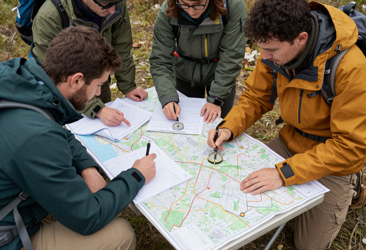
AI is Great for Brainstorming, Bad for Bearings
AI is a powerful tool, but we have to be smart about how we use it when planning an outdoor trip. I find AI incredibly helpful for brainstorming—it's great at generating a list of gear for a specific climate or suggesting meal ideas that won’t spoil in a cooler over several days. It can help you think through the "what ifs" of a long weekend camping trip by providing a broad range of possibilities to consider. However, there is a hard line between using it as an assistant and using it as a primary source of truth. In the backcountry, accuracy isn't just a convenience; it’s a safety requirement. You should never treat an AI response as your final authority on navigation, terrain specifics, or emergency procedures. It's a tool for inspiration and initial organization, not a substitute for boots-on-the-ground research and verified data from official sources.
The 'Hallucination' Problem and Why it Matters Out Here
In the tech world, they call it "hallucination." For us outdoorspeople, that’s just another way of saying the computer is confidently lying to you. An AI doesn't actually know what a trail looks like; it predicts what words should come next based on its training data. This means it might give you perfectly plausible-sounding coordinates for a campsite that doesn't exist or tell you there’s an easy crossing over a river when the terrain is actually impassable and dangerous. Relying on this kind of fake information in a remote area is genuinely risky. If you follow a "hallucinated" route, you could end up miles off course with no way to get back easily because your primary source of info was fundamentally wrong about the geography. It's why I always treat AI-generated info as a starting point that requires immediate verification from human sources or official government agencies.
Go Analog: The Fundamentals That Never Change
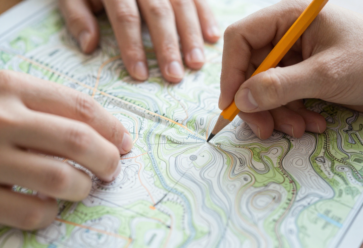
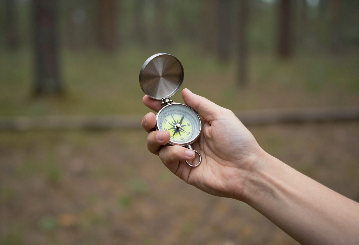
I’ve spent years in environments where "signal" was a luxury, whether it was during my time in the Marine Corps or while working on search-and-rescue with the Civil Air Patrol. In those situations, I learned that technology is a great supplement, but a poor foundation for survival. This is why I still swear by the fundamentals: paper maps and a compass. These tools don't have batteries to die, screens to shatter, or software bugs to crash. Learning how to orient yourself on a physical map isn't "old school"—it’s essential redundancy. It gives you a level of confidence that doesn't disappear when your phone hits 1% battery in the middle of a canyon. If you can navigate with a piece of paper and a needle, you have a safety net that no algorithm can provide. It’s about ensuring that even when the tech fails, your plan stays intact.
Research Discipline: Multiple Sources for Critical Info
Good planning requires a disciplined approach to information gathering. I never rely on just one source for critical trip details like trail conditions, water sources, or seasonal closures. When you're prepping a trip, you need to triangulate your data. Start with an AI or an online forum to get general ideas and inspiration, but then move to official channels immediately. This means checking your state’s wildlife agency website—which is the ultimate authority on regulations and land status—contacting local ranger stations for real-time updates on closures, and looking at recent reports from other people who have been on that specific trail in the last month. If you find a discrepancy between what an app says and what a ranger tells you, always trust the person with the boots on the ground or the official agency site. Consistency across multiple sources is how you build a safe itinerary.
The Safety Redundancy Checklist
Before you head out, your goal should be to eliminate single points of failure in your planning and navigation. If one piece of gear fails, do you have a backup? This applies to everything from your primary navigation method to your communication plan. I always follow a redundancy checklist before leaving the driveway: share your specific itinerary with a trusted person who isn't coming with you (and tell them when you expect to be back), carry physical backups for every digital tool you use, and establish clear "turn around" points if conditions get worse than expected or you lose the trail.
| Critical Item | Primary Tool | Redundancy/Backup |
|---|---|---|
| Navigation | Smartphone App / GPS | Paper Map & Compass |
| Communication | Satellite Messenger / Cell Phone | Trip Plan Shared with Contact |
| Emergency Info | Saved Notes / AI Summary | Official State Agency Guide |
Inspired by MeatEater.
About the Author
David Rodgers is the founder and writer behind Country Trailhead — a Marine Corps infantry veteran, Civil Air Patrol colonel, and Eagle Scout based in Oklahoma, drawing on decades of field-tested hunting, fishing, camping, and hiking experience. Read more about David and Country Trailhead →