
What the Cutting Edge Means for Backcountry Safety
We look beyond the hype of drones and exoskeletons to see how real-world technology is making search and rescue missions more effective. Understanding these tools helps us prepare better for our own trips out in the field.
Written by David Rodgers — October 1, 2026
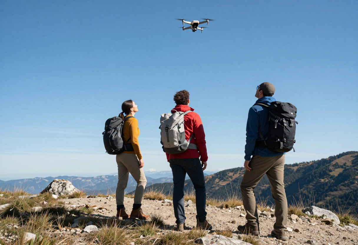
The fundamental job: Finding people who are lost or injured.
At its core, search and rescue (SAR) isn't about high-tech gadgetry; it’s about a basic human reality—someone is in trouble, and they need to be found before the situation turns from an incident into a tragedy. Whether someone took a wrong turn on a hike, got injured while hunting, or became disoriented during a camping trip, the goal remains the same: get them out safely.
While we are seeing more advanced equipment enter the field today than ever before, these tools don't change the fundamental requirements of survival. A drone can see a person from above, but it doesn’t make that person any less cold or thirsty if they are stranded. The ground remains just as rugged, and the weather stays just as unpredictable regardless of what technology is being used to track someone down. Before we look at the new tools, it's important to remember that preparedness—knowing your route, carrying enough water, and having a basic understanding of land navigation—remains the first line of defense. Technology is meant to assist the rescue process, but it cannot replace personal preparation.
Drones on SAR teams: It’s not just for filming cool videos.
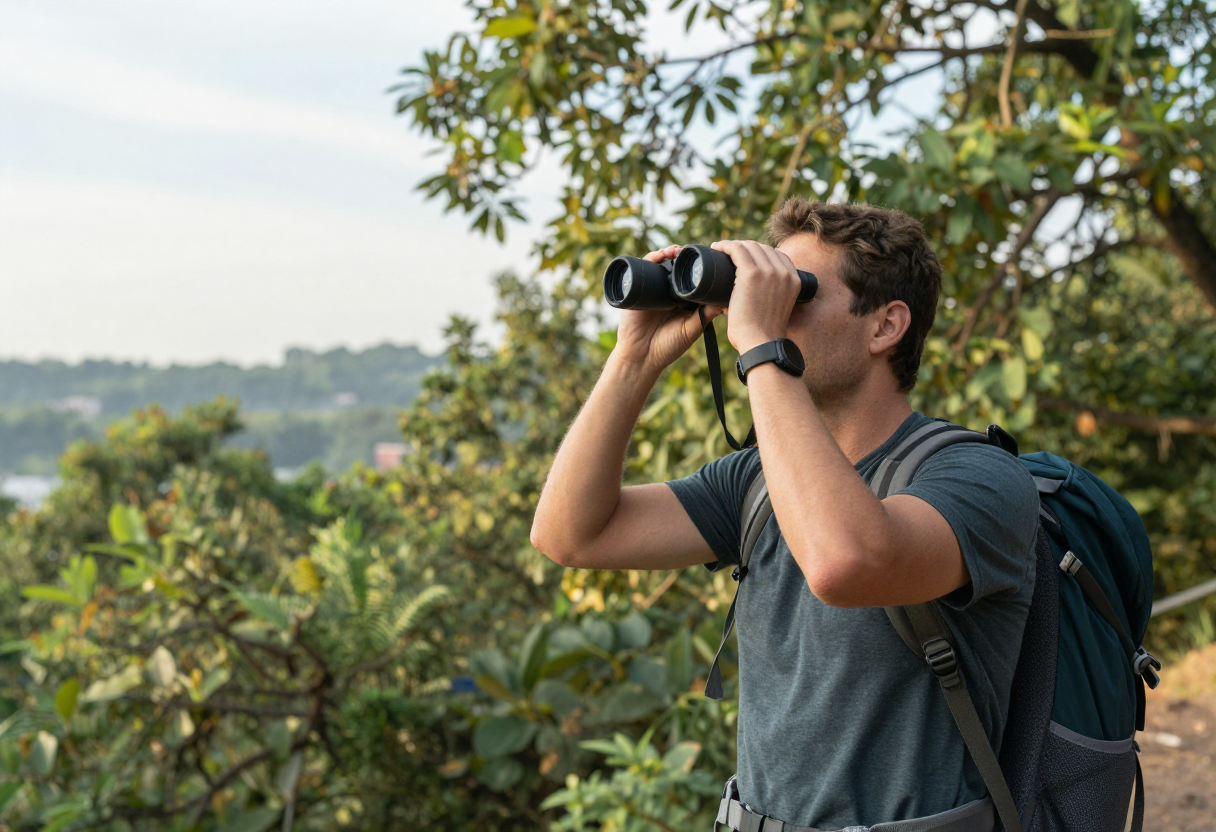
In many areas, drones have become an essential "force multiplier" for search teams. They aren't being used to get cinematic shots of the mountains; they are being used to solve a very practical problem: visibility. In thick brush or dense timber, it can take hours for a ground team to clear enough space to spot a person wearing dull-colored clothing.
Thermal Imaging and Coverage
One of the most significant upgrades in recent years is the integration of thermal (FLIR) cameras on drones. This allows teams to:
- Identify heat signatures from people hidden under tree canopies or in heavy brush at night.
- Cover large areas of terrain quickly, allowing ground teams to focus their efforts more precisely once a "hit" is confirmed.
- Reach hazardous locations—like steep cliffs or fast-moving water—where it would be dangerous for a human to go first just to scout the area.
By narrowing down the search grid, these tools save time, and in a wilderness emergency, every minute saved can impact the outcome of a rescue.
Beyond the drone: AI mapping and heavy lifting tech.
While drones get most of the headlines, other technologies are quietly changing how professional rescuers handle the physical and logistical burdens of backcountry operations. These innovations aren't about making things "easier" for everyone; they are specifically designed to help professionals perform better under stress.
Exoskeletons and Physical Support
In certain high-intensity scenarios, wearable frames or exoskeleton technology can help rescue workers carry heavy packs and equipment over long distances with less physical fatigue. This isn't about replacing the human element but about ensuring that a rescuer stays fresh enough to provide medical care when they finally reach a patient in a remote area.
Data Integration
On the logistical side, AI-driven mapping tools are becoming more common for coordinating large searches. Instead of just looking at one map, these systems can take data from multiple sources—such as weather patterns, terrain types, and historical search data—to suggest the most likely locations where a missing person might be located. It’s about organizing information so that teams aren't wasting energy searching in areas with a very low probability of success.
The biggest1mbiggest mistake? Relying on gadgets instead of skills.
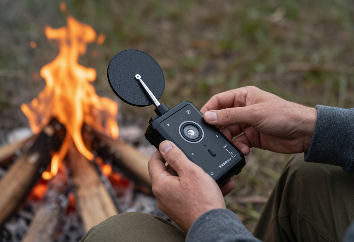
This is the point where I have to get direct: technology is a multiplier, not a replacement for fundamental outdoor skills. If you rely solely on a GPS unit or a satellite messenger without understanding how to read a map, recognize terrain features, or judge weather patterns, you are creating a single point of failure in your safety plan.
The "Multiplier" Concept
Think of it this way: if your skill level is zero, then having high-tech gear just means you can get lost more efficiently. A satellite messenger is an incredible tool for getting help when things go wrong, but it doesn't give you the ability to navigate a trail when visibility drops or find water in a dry creek bed.
You should treat gadgets as "backups" and "shortcuts," not as your primary way of navigating the world. You still need to know:
- How to read a topo map to understand elevation changes.
- The basics of first aid for common backcountry injuries.
- How to stay put and make yourself visible if you are lost.
A device can fail, lose its signal, or run out of battery. Your ability to think clearly and use the tools at your disposal—even just a compass and a piece of paper—is what keeps you safe in the long run.
Bottom line for hikers: How to prepare when tech gets fancy.
As more technology becomes available to both rescuers and private citizens, it can be tempting to let those gadgets replace your own preparation. Don't fall into that trap. The best way to handle "fancy" tech is by using it as part of a layered strategy where you are still the one in control.
Practical Steps for Your Next Trip
- Maintain Redundancy: If you use a GPS watch or phone app, carry a physical map and a compass as your primary backup. Know how to use both before you head into the woods.
- Understand Your Comms: If you carry a satellite messenger (like an InReach), understand its specific capabilities and limitations in your local area—some canyons can block signals even from these devices.
- Know Your Limits: Technology doesn't make you more capable of handling extreme weather or difficult terrain; it just gives you a better way to call for help when those conditions become overwhelming.
Ultimately, the best "technology" is still your own experience and training. If you want to get specific about how these tools fit into your local area—including what equipment might be most practical for your region's unique landscape—visit our State Resources page to see what your local agencies recommend.
Inspired by Backpacker Magazine.
About the Author
David Rodgers is the founder and writer behind Country Trailhead — a Marine Corps infantry veteran, Civil Air Patrol colonel, and Eagle Scout based in Oklahoma, drawing on decades of field-tested hunting, fishing, camping, and hiking experience. Read more about David and Country Trailhead →