The Plan Isn't the Point. The Preparation Is.
AI can give you a route, but it won't teach you how to fix the gear when it breaks or what to do when the forecast shifts fast. This is about layering real-world skills back into your trip prep.
Written by David Rodgers — September 11, 2026
The AI Trip Plan Trap
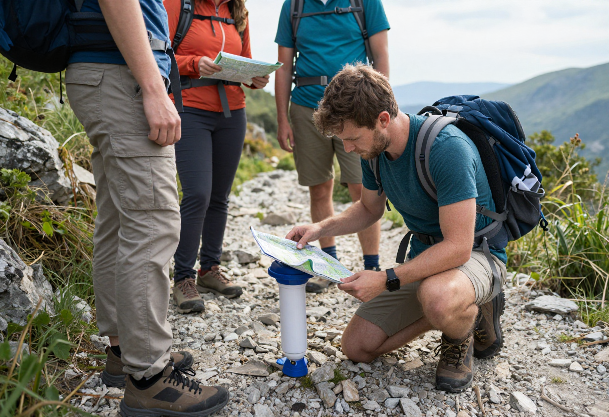
I’ve seen a lot of folks get into trouble by trusting an algorithm more than their own senses. It is easy to let a piece of software generate a "perfect" route for your hike or hunt, but there is a massive difference between a digital path and the reality of moving through the woods. A computer can plot coordinates from point A to point B, but it doesn't know how your knees feel after four hours on uneven terrain. It cannot sense that the wind has shifted toward the ridge—a clear sign of an incoming weather front—or recognize that a trail is becoming dangerously washed out by recent rains.
When you rely too heavily on a generated plan, you risk losing your situational awareness. A screen doesn't tell you when you’re running low on daylight or when your water filter is starting to clog with sediment. An algorithm provides the "what" of a trip, but it can't provide the "how" of adapting when conditions change. A plan is just a baseline; your preparation is what allows you to actually survive and enjoy the outdoors when that baseline inevitably shifts.
Why 'Best Practice' Isn't Enough
In my experience—both in the military and out on backcountry treks—the difference between a successful trip and a miserable one often comes down to redundancy. "Best practice" usually means having exactly what you need for the conditions you expect. However, real-world preparation requires you to have what you need for the things you don't expect. If your primary method of navigation fails or your main piece of gear breaks, do you have a secondary way to solve that problem?
For example, having a high-end GPS is great, but it’s not enough if you don't know how to read a physical map when the battery dies in the cold. If your primary stove won't light because of a faulty seal, you need a backup method for getting hot food and water. This isn't about being paranoid; it's about acknowledging that gear fails and weather is unpredictable. You want to be the person who can pivot when things go wrong, rather than the one staring at a broken piece of tech wondering what to do next.
The Layered Prep System (Water & Food)
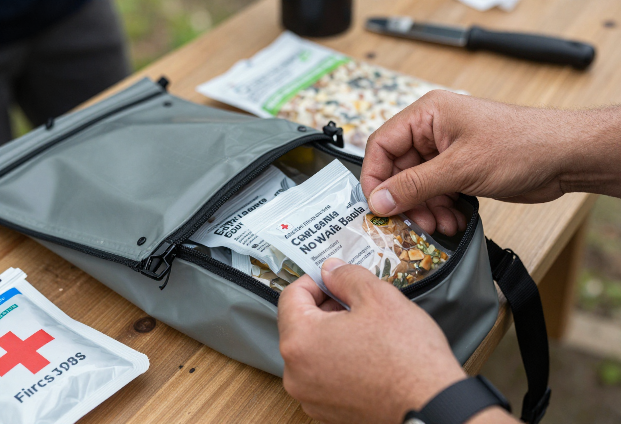
I view resource management as a layered system. If you are calculating your water intake based exactly on the miles planned by an app, you have zero margin for error. You should always carry more than "just enough" because delays happen—a twisted ankle or getting turned around in heavy brush can turn a quick hike into a long day.
Managing Your Reserves
- Food Buffer: Always pack at least one extra day’s worth of high-calorie, shelf-stable food beyond your planned duration. This covers you for unexpected delays and provides peace of mind when the miles start to pile up.
- Water Redundancy: If you are using a filter or purifier, carry backup purification tablets. Filters can clog with silt or fail under pressure; having a secondary method ensures you aren't left thirsty because of a mechanical failure.
- The Safety Margin Rule: Treat your "planned" amount as the minimum needed to reach your destination comfortably. Anything less than that is essentially skipping out on your safety net.
Beyond the Trail Map: Camp Safety and Gear Check
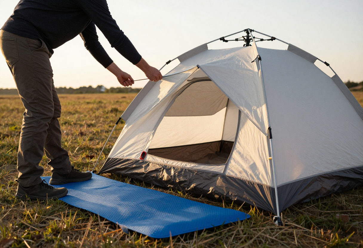
An AI can tell you where to pitch a tent based on coordinates, but it won't notice if those coordinates are in a natural drainage path for heavy rain or in an area prone to flash flooding. You have to look at the ground with your own eyes. Are there signs of recent high-water marks? Is the site exposed to wind gusts that could knock over your shelter?
Essential Field Checks
- Site Selection: Avoid low-lying areas near creeks or dry washes, even if they offer a flat place to sleep.
- Fuel and Ignition: Check every seal on your stove and ensure you have multiple ways to start a fire in damp conditions before you leave the house.
- Local Regulations: Rules regarding fire permits, bear canisters, and specific camping zones vary significantly by region. Always check with your state’s official wildlife agency for the current requirements in your area rather than relying on general advice.
The Mentor Principle: Don't Go Solo on a Big Trip
There is no substitute for someone who has actually spent time in the backcountry and can tell you how it feels when things go sideways. A computer provides "how-to" steps, but a mentor provides context. They can look at your gear list and notice that you’re missing something vital for cold weather, or they can listen to your trip plan and identify where your logic might fail if the environment turns hostile.
If you are new to a specific type of terrain—whether it's high-altitude hiking or backcountry hunting—finding an experienced peer to walk through your plans with is one of the best moves you can make. They aren't just giving advice; they are sharing years of trial, error, and hard-won lessons that no algorithm can replicate. A conversation with a seasoned hunter or hiker can often reveal risks that wouldn't show up on any screen.
Leaving Tech at Home (Or in Backup Mode)
Technology should be treated as a tool, not a crutch. If you are so dependent on your smartphone for navigation that you would be lost without it, then you aren't prepared enough yet. I still carry a physical map and a compass because they don't have batteries to drain or screens that will freeze in the winter.
Managing Your Electronics
- Power Management: If you use GPS devices, keep them on "airplane mode" and turn off non-essential features like Bluetooth or constant syncing to preserve battery for emergencies.
- Analog Mastery: Practice using a map and compass before your trip begins. You should be able to identify landmarks and plot a course even if your electronics are completely dead.
- The Backup Rule: Treat tech as your primary source of convenience, but always have an analog system ready as your backup. If the technology fails—and it eventually will—you need to know how to keep moving forward without it.
Inspired by Backpacker Magazine.
About the Author
David Rodgers is the founder and writer behind Country Trailhead — a Marine Corps infantry veteran, Civil Air Patrol colonel, and Eagle Scout based in Oklahoma, drawing on decades of field-tested hunting, fishing, camping, and hiking experience. Read more about David and Country Trailhead →