
Digital Maps Are Great—But Always Verify Your Route First.
Technology has made mapping easier than ever, but reliance on AI and single-source GPS data can lead to dangerous mistakes. This guide walks you through how to build reliable redundancy into your planning process.
Written by David Rodgers — October 7, 2026
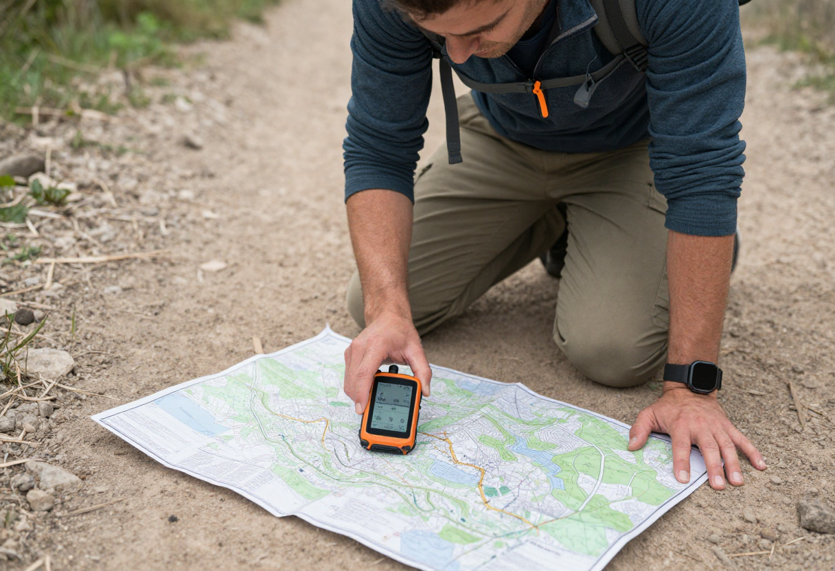
When a Good Idea Goes Wrong: The Digital Pitfall
There is nothing more convenient than an app that plots out a perfect line across a mountain range and tells you exactly how many miles are left until the summit. It’s tempting to treat those digital lines as gospel, but on my years in the field—and during some pretty long days of navigation for the Civil Air Patrol—I've learned that "convenient" doesn't always mean "accurate."
The risk with relying solely on AI-generated routes or basic consumer GPS data is a false sense of security. A digital map might show a clear path, but it can’t tell you if that trail was washed out by a heavy rain three days ago, if the ground has become dangerously unstable, or if what looks like a "trail" in your app is actually private land or an impassable cliff face. Technology often fails to account for local variables and real-time conditions. When your phone dies, loses signal in a deep canyon, or simply gives you coordinates that don't match the terrain in front of your eyes, you need to know how to make a decision without it.
Three Ways to Vet Any Route You Find Online
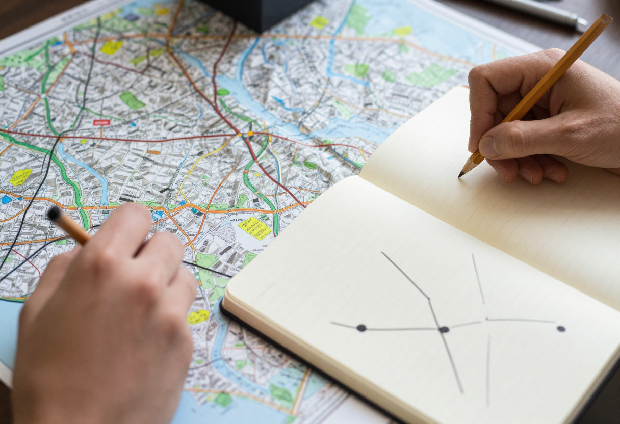
Before you lace up your boots based on an online description or an AI-generated path, you need to cross-reference your data. Think of it as triple-checking your gear before heading into the backcountry; you wouldn't trust a single point of failure if you could avoid it.
- Compare with Topographic Maps: A digital "path" is just a line. A topo map shows you the grade, the elevation changes, and the proximity to water sources. If an online route looks flat but your topo map shows a 50% grade incline in that same spot, you need to know why before you're halfway up the hill.
- Check for "Ground Truth": Look at recent reports from other hikers on specialized forums or apps like AllTrails. Are people mentioning downed trees? Muddy sections? Knowing what others experienced within the last month is often more valuable than a static line on a map.
- Consult Local Knowledge: If possible, check with local forest services or ranger stations. They are the ones who know where the seasonal hazards are and which trails have been officially closed for maintenance.
The Golden Rule: Redundancy and the Analog Backup
I’m not trying to be an old-fashioned Luddite; I just believe in redundancy because it saves lives. In my experience, if your primary method of navigation fails, you should already have a secondary—and even a tertiary—method ready to go. This isn't about being "prepared" for the unlikely; it’s about having a plan when things get messy.
A physical map and a compass are non-negotiable backups. They don't need batteries, they don't lose GPS signals in deep timber, and they won't overheat in your pocket. Beyond just navigation tools, you have to rely on your own judgment: recognizing the signs of changing weather, understanding your body’s limits regarding pace and hydration, and having the basic skills to navigate by landmarks when technology lets you down. If you can read a topo map and use a compass effectively, you aren't dependent on an app to tell you where you are—you just happen to have one as a convenient extra tool in your pack.
Planning Discipline Checklist (Before You Leave)
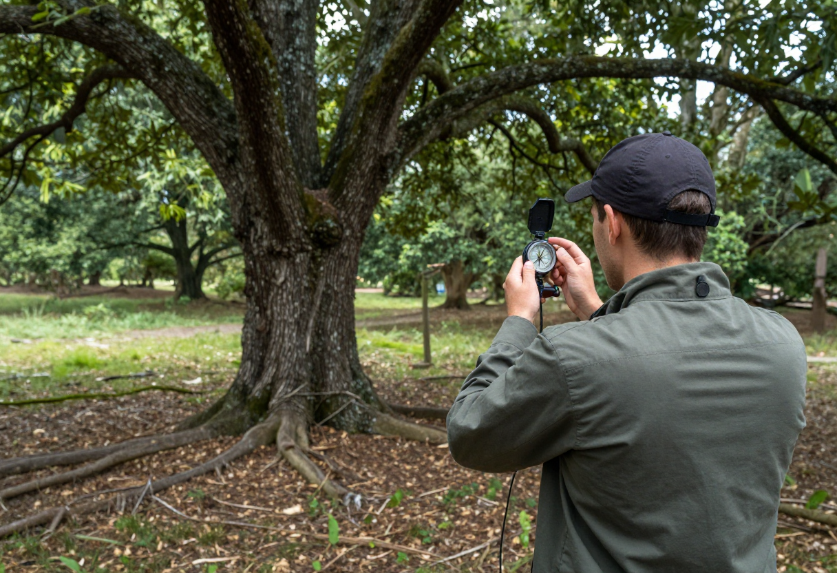
Success in the outdoors usually comes down to the work you do before you ever hit the trailhead. A disciplined plan reduces the number of "what if" scenarios that can turn into real problems. Use this checklist to ensure you’re starting on solid ground:
- Map and Route Verification: Have you cross-referenced your digital route with a topo map? Do you know where the major intersections or landmarks are located?
- Weather Judgment: Don't just check the temperature for your destination. Check the forecast for high winds, lightning risks, and sudden pressure changes that could impact your safety on the trail.
- The "Flight Plan": Tell a reliable person exactly where you are going, what route you plan to take, and when you expect to be back. Give them a firm "no-contact" time so they know when to start looking for help if you don't check in.
- Emergency Gear: Do you have the basics—a first aid kit, plenty of water, extra layers, and a way to signal for help?
If you’re unsure about the specific rules or requirements for your upcoming trip, head over to our State Resources page to find the official guidelines for your area.
Inspired by Backpacker Magazine.
About the Author
David Rodgers is the founder and writer behind Country Trailhead — a Marine Corps infantry veteran, Civil Air Patrol colonel, and Eagle Scout based in Oklahoma, drawing on decades of field-tested hunting, fishing, camping, and hiking experience. Read more about David and Country Trailhead →