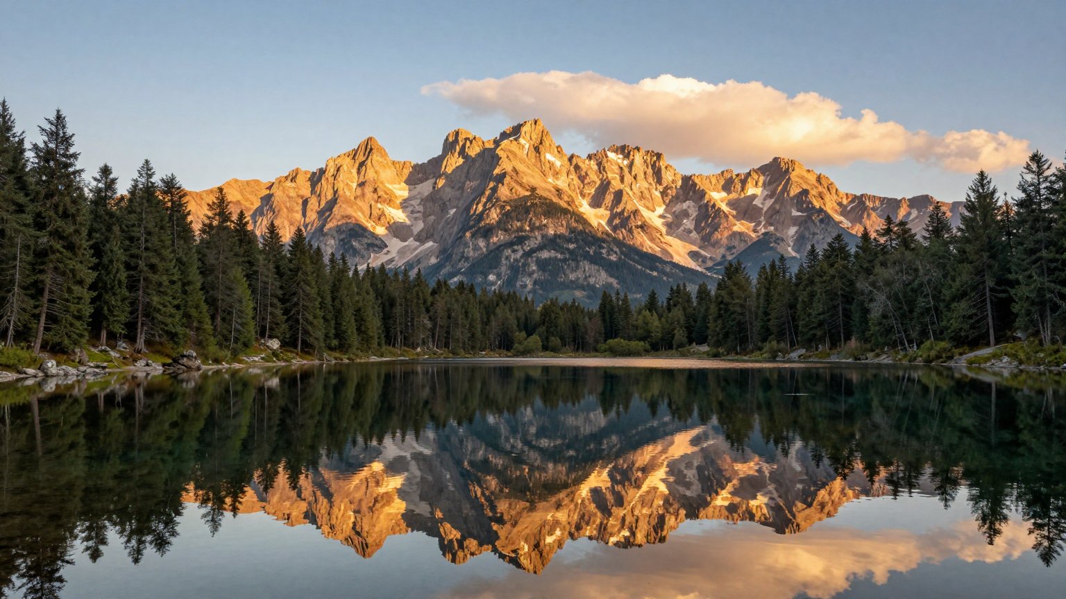

Colorado Trail Floods: Staying Safe When the Path is Gone
Following severe flooding, the CO Trail and CDT sections are compromised. This issue details how to assess damage risks and safely adjust your itinerary without putting yourself in danger.
Written by David Rodgers — November 8, 2026
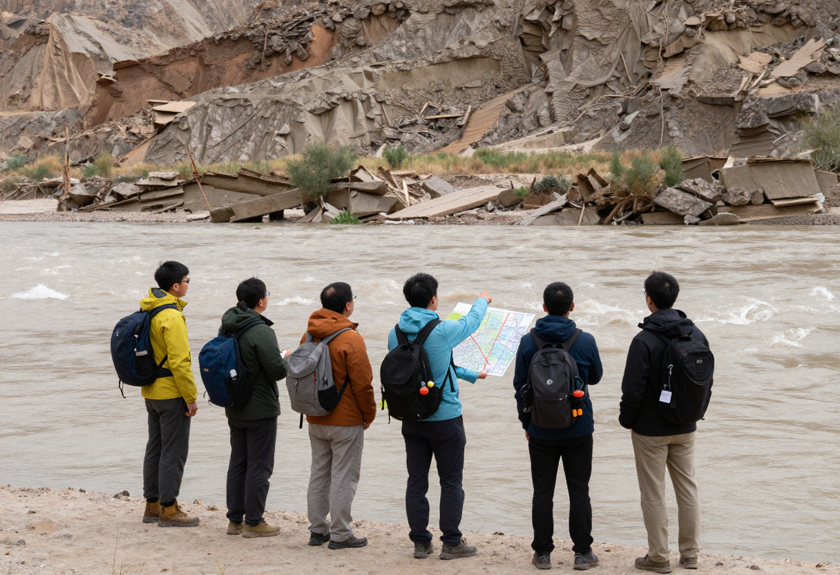
The Immediate Warning: Don't Assume the Trail is Clear
If you’re planning to hit the Colorado Trail or any section of the Continental Divide Trail this season, I need you to put down your assumptions right now. One of the most dangerous habits an experienced hiker can develop—and one I see beginners fall into even faster—is believing that because a trail was passable last year, it will be passable today. High-altitude environments are volatile. A single heavy rain event or a rapid snowmelt cycle can reshape a landscape in hours, turning a well-maintained path into an impassable hazard.
I’ve spent years navigating backcountry terrain, and the most consistent lesson I've learned is that historical knowledge has an expiration date. You cannot rely on "how it used to be" when dealing with active flood damage. The situation on the ground changes faster than news reports can keep up with. Before you lace up your boots, your first move isn't checking your gear list; it’s verifying the current status of the specific corridor you intend to hike through via official channels.
What 'Extensively Damaged' Actually Means for You
When a trail report describes an area as "extensively damaged" due to flooding, that isn't just a suggestion that the mud is deep. It means the fundamental infrastructure of the trail has been compromised. In my experience, this translates to three specific physical risks that can turn a standard trek into a life-threatening situation:
Washed-out Bridges and Culverts
A bridge that was there last month might be gone today. This doesn't just mean you have to swim across; it means the land on either side of the gap may have been undercut, making the ground near the water’s edge structurally unsound.
Unstable Banks and Slumping Soil
Floodwaters don't just move dirt; they liquefy it. You might find sections where the trail has "slumped" down a ravine or where the bank is so saturated that one step could trigger a localized slide.
Debris Fields
Floods carry boulders, heavy logs, and tangled brush. These aren't just obstacles to walk around—they are often balanced precariously. Moving a piece of debris to clear your path can cause a larger collapse or pin you in a difficult spot. If the trail is buried under several feet of silt and rock, it’s no longer a trail; it’s a construction zone that requires specialized equipment to clear.
The Core Discipline: When in Doubt, Turn Back (or Go Around)
In my time in the Marine Corps and later in Search and Rescue, I learned that the difference between a successful mission and a disaster often comes down to one thing: discipline over ego. In the outdoors, our egos are often our biggest liability. There is a very specific type of "mountain fever" where you’ve hiked six miles, you're tired, and you want to see what's over the next ridge—so you decide to "push through" a washed-out section or an intimidating river crossing.
That is exactly when things go wrong. If you reach a point where the trail disappears into a torrent of water or a wall of debris, your job isn't to figure out how to get across; your job is to reassess. True outdoor discipline means acknowledging your limits in real-time. If you don't have the gear, the training, or the clear path to move forward safely, you turn around. It doesn’t mean you failed the hike; it means you successfully managed a risk. Turning back isn't a defeat—it's a tactical decision that ensures you're healthy enough to go back out another day.
Making Safe Decisions: Your Pre-Trip and On-Trail Protocol
Safety in these conditions requires a proactive approach before you ever leave your driveway, as well as a set of "hard rules" for when you are actually on the trail. You need to treat your trip like a mission with clear contingencies.
Pre-Trip Verification
Don't just check one source. Cross-reference reports from the Forest Service, local land management agencies, and recent hiker reports. If there is conflicting information, always default to the most conservative "closed" status.
The Plan B Requirement
Never head into a flood-affected zone without an alternative route already mapped out. If Section A is washed out, do you know exactly where the nearest established trailhead or bypass is? Have that map downloaded for offline use before you lose cell service.
On-Trail Water Assessment
If you encounter a water crossing that wasn't on your original plan due to damage:
- Observe the flow: If the water is moving faster than a brisk walk, it’s too dangerous to cross.
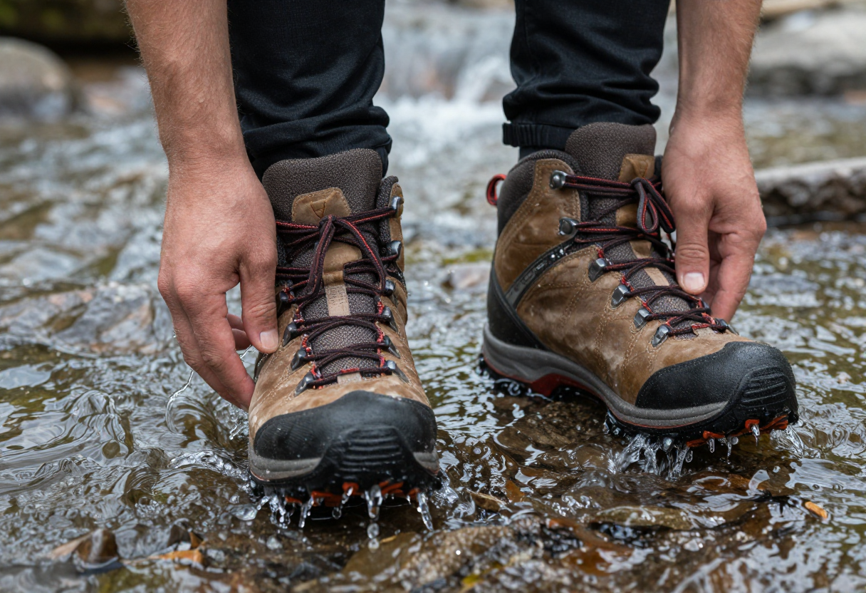
- Check the depth: Never attempt to cross moving water that reaches above your knees without specialized wading gear and experience.
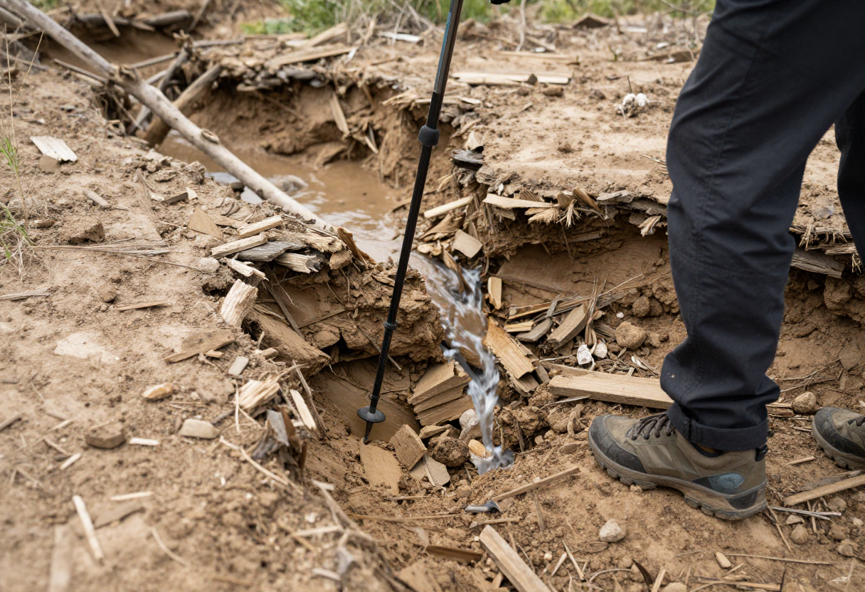
- Test the ground: Use a trekking pole to probe the ground ahead of you to ensure there isn't a hollow space under the mud or silt.
For specific information on trail closures, seasonal hazards, and local land management rules, always consult the official state resources. You can find the correct links for your specific region on our State Resources page.
To help you plan your next trip with these factors in mind, check out our Gear Finder Wizard to ensure you have the right trekking poles and navigation tools for unpredictable terrain.
Inspired by Backpacker Magazine.
About the Author
David Rodgers is the founder and writer behind Country Trailhead — a Marine Corps infantry veteran, Civil Air Patrol colonel, and Eagle Scout based in Oklahoma, drawing on decades of field-tested hunting, fishing, camping, and hiking experience. Read more about David and Country Trailhead →