
Stargazing Apps and Star Charts
The real apps worth using for identifying stars, planning sessions, and finding dark skies.
Published August 20, 2026
Why the Right App Genuinely Accelerates Learning the Sky
Learning constellations and navigating the night sky used to require years of practice with printed charts alone — modern planetarium apps compress much of that learning curve by pointing your phone at the sky and instantly showing what you're looking at. This guide covers the actual, current tools worth using: planetarium/star-identification apps, light pollution mapping tools, and how printed charts still fit in alongside them.
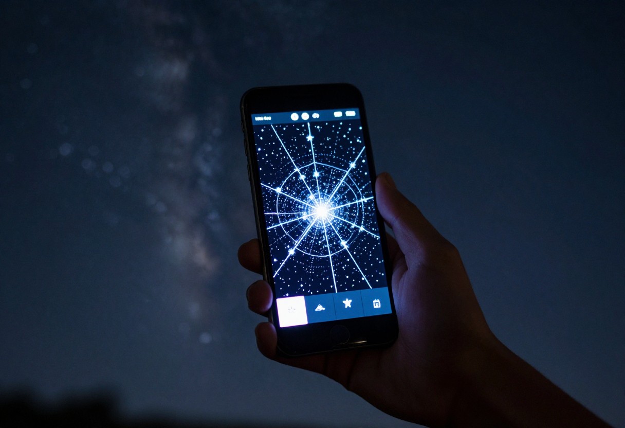
1. Planetarium and Star-Identification Apps
- Stellarium is widely considered the gold standard, available as a genuinely powerful free desktop planetarium program and as a mobile app — it renders an accurate, detailed simulation of the sky for any date, time, and location, and is a reasonable default recommendation for most beginners.
- SkySafari is a well-established, feature-rich option with tiers ranging from a basic free version up through a Pro tier offering an extensive object catalog and telescope control capability for connecting directly to a compatible GoTo mount.
- Star Walk 2 offers a particularly polished augmented-reality interface — point your phone at the sky and it overlays constellation names and object identification directly on the camera view, which many beginners find especially intuitive.
- SkyView Lite / Sky Map are simpler, free AR-pointing apps — a reasonable lightweight option if you want basic identification without a full planetarium app's depth of features.
- PhotoPills is worth knowing specifically for astrophotography planning (covered in a dedicated guide) — it helps plan Milky Way and night-sky shots around location, timing, and framing rather than functioning as a general star-identification tool.
2. Light Pollution and Dark Sky Finder Tools
- A light pollution map (accessible via dedicated websites and apps) lets you check a Bortle-scale-equivalent brightness rating for any specific location using satellite-derived light emission data — genuinely useful for planning before you drive somewhere, covered in more depth in a dedicated dark-sky locations guide.
- These tools let you evaluate a potential stargazing spot in advance rather than guessing based on how far it "feels" from town — a real planning advantage over the trial-and-error approach many beginners default to.
- Some apps combine a light pollution overlay directly with mapping features, letting you compare several candidate locations at once for an upcoming trip.
3. What Makes an App Actually Useful in the Field
- Offline functionality matters. Many good stargazing locations have weak or no cell signal — confirm an app can function (or at least display previously loaded data) without an active connection before relying on it in the field.
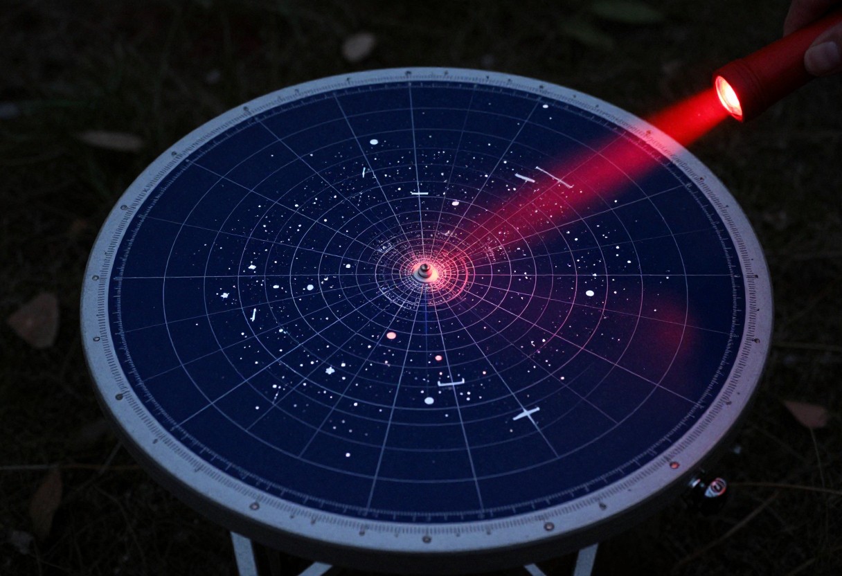
- A red/night mode display (many astronomy apps include this, and many phones offer a system-level red or dimmed night mode too) protects your dark adaptation the same way a physical red flashlight does — worth enabling before you head outside, not after your eyes have already adjusted.
- GPS-based location and time sync let an app accurately show what's actually overhead at your specific location and moment, rather than a generic sky view — this is one of the core advantages over a printed chart, which shows a fixed date/time/latitude range rather than adjusting live.
4. Why Printed Charts Still Have a Place
- A planisphere or printed seasonal star chart requires no battery and no signal, making it a genuinely reliable backup if a phone dies or an app misbehaves mid-session — covered in more detail in a dedicated gear guide.
- Some observers find learning constellations from a printed chart builds more durable, independent sky-navigation skill than relying entirely on an app's live overlay — a reasonable perspective, though not a requirement for enjoying the hobby either way.
- A hybrid approach — app for real-time identification and planning, printed chart as backup and for building independent skill — is a genuinely reasonable default rather than treating the two as competing choices.
5. Using Apps to Plan a Session, Not Just Identify Objects in the Moment
- Check moon phase and rise/set times through your app of choice before planning a session specifically targeting the Milky Way or faint deep-sky objects — a bright moon washes out fainter targets, covered in more depth in a dedicated beginner guide.
- Look up specific object visibility windows — many objects are only well-positioned in the sky during certain months or times of night, and a planetarium app can show this in advance rather than leaving you to discover it's below the horizon once you're already outside.
- Check upcoming meteor showers, conjunctions, and other events — most planetarium apps surface these, making it easy to plan a session around something specifically worth seeing rather than a random clear night.
6. Common App-Related Mistakes
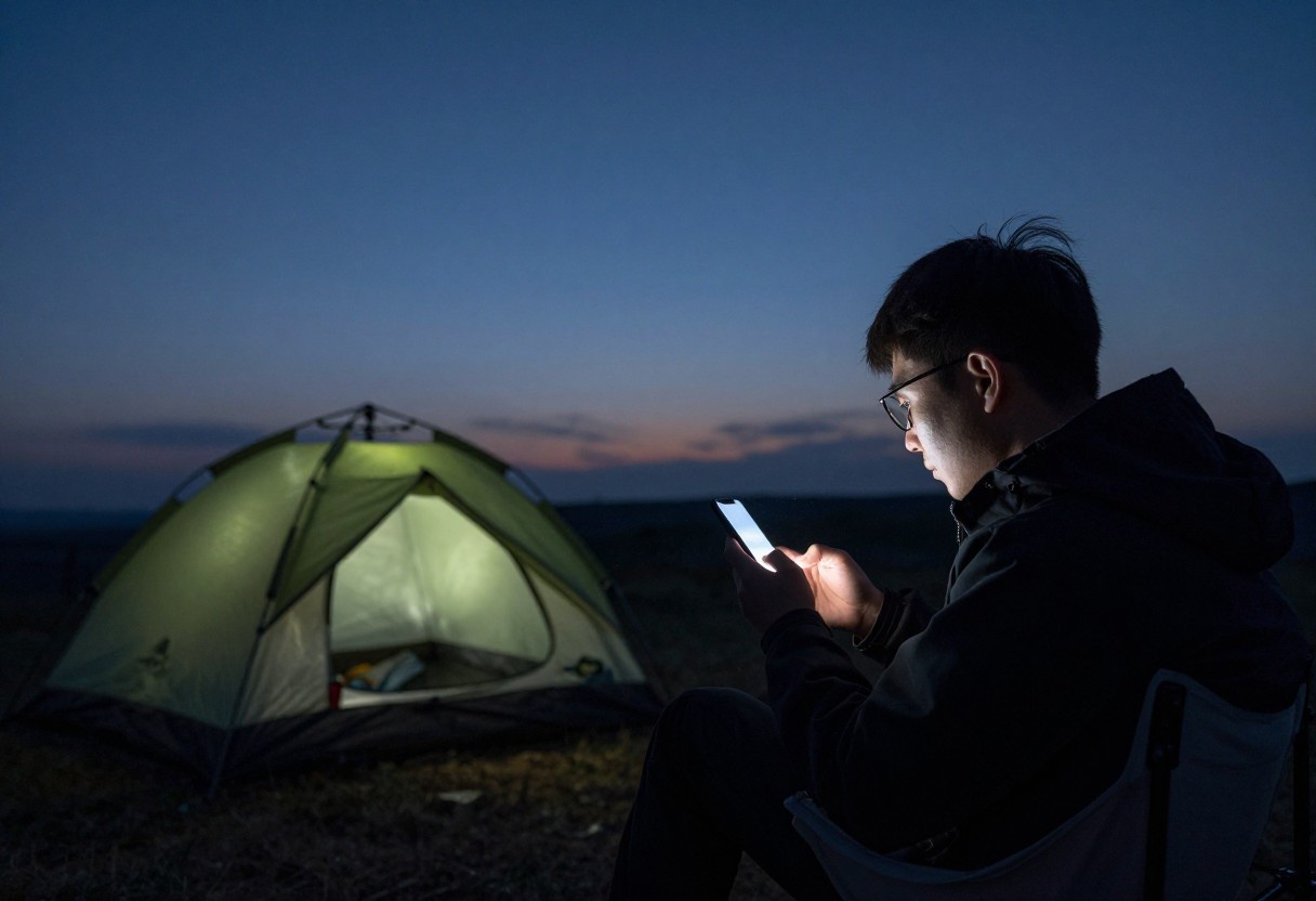
- Using an app's default bright white interface outdoors without switching to a red/night display mode, undermining dark adaptation unnecessarily.
- Relying entirely on an app with no offline capability or printed backup, risking a dead session if signal or battery becomes an issue.
- Not checking moon phase and object visibility windows in advance, arriving at a dark site only to find the intended target isn't well-positioned that night.
- Assuming higher app cost automatically means better usability for a beginner — a simpler free app is sometimes genuinely more approachable for someone just starting out than a feature-dense paid option.
- Ignoring GPS/location accuracy issues, which can throw off an app's real-time sky rendering if location services aren't working correctly.
Quick Decision Checklist
- I have a planetarium/star-identification app installed and have enabled its red/night display mode
- I've checked whether my app functions offline, or have a printed backup for areas without signal
- I've used a light pollution map to evaluate my planned location in advance
- I've checked moon phase and specific object visibility windows before planning a session around a particular target
- I have a hybrid approach (app plus printed chart) rather than relying entirely on one method
Glossary
- Planetarium App: Software that renders an accurate simulation of the night sky for a given date, time, and location, often with real-time camera-overlay identification features.
- Light Pollution Map: A tool using satellite-derived data to show relative sky brightness/darkness for any given location, used to evaluate potential stargazing sites in advance.
- Night Mode / Red Mode: A display setting (on an app or device) that shifts the screen to red or heavily dimmed tones, protecting dark-adapted night vision compared to a standard bright white display.
- Conjunction: An astronomical event where two or more objects (often planets) appear close together in the sky as seen from Earth, often highlighted in advance by planetarium apps.
Final Takeaway
A good planetarium app genuinely accelerates learning the night sky, and current tools like Stellarium, SkySafari, and Star Walk 2 all offer real, dependable functionality worth using — paired with a light pollution map for planning where to go. Enable red/night mode before heading outside, keep a printed chart as backup for when signal or battery fails, and use your app to plan sessions around moon phase and object visibility rather than just identifying things after the fact.
App availability, features, and pricing change over time — check current app store listings and reviews before choosing a specific app, and prioritize the underlying capabilities covered here (offline function, red mode, GPS accuracy) over any single brand recommendation.