
Reading Water: Where Fish Actually Are
Current seams, structure, and depth changes that tell you where to cast before you ever wet a line.
Published August 19, 2026
Why Reading Water Matters More Than Any Single Technique
Fish aren't distributed randomly through a lake or river — they relate to specific features that provide food, cover, oxygen, and appropriate temperature, and learning to read those features before you ever cast is one of the highest-leverage skills in fishing. A skilled angler fishing the wrong water will consistently be outfished by a modest angler fishing the right water. This guide covers how to actually read structure, current, and depth to identify where fish are likely holding, applicable across most freshwater species and settings.
1. The Core Principle: Fish Relate to Edges and Changes
- Fish consistently favor transition zones — where one type of structure, depth, or current meets another — over uniform, featureless water, because these edges concentrate food, provide ambush cover, and offer varied options for shelter and feeding.
- A completely uniform stretch of water (flat bottom, no structure, no current variation) is generally lower-percentage water than a stretch with genuine variation, even subtle variation — this single principle underlies most of the specific structure types covered below.
- Learning to spot these transition zones — visually where possible, and by understanding underwater terrain where not — is the actual skill of "reading water," more so than memorizing a list of specific structure types.
2. Current Seams (Moving Water)
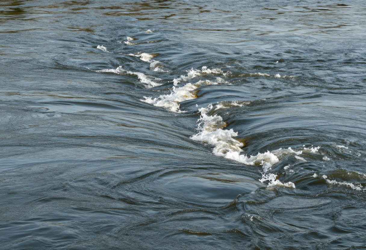
- A current seam is the boundary between two different current speeds — often visible as a distinct line on the water's surface where faster water meets slower water.
- Fish hold in the slower-moving side of a seam, feeding on food carried past them in the faster-moving side — this gives them an energy-efficient ambush position without needing to fight the full current to feed.
- Seams commonly form behind current-breaking obstacles (rocks, logs), where a tributary enters a larger flow, where a river narrows or widens, and along the edges of deeper channels within a river.
- The most productive seams often have some depth or cover nearby, not just a current speed change alone — a seam over a flat, shallow, featureless bottom is generally less productive than one near a drop-off or structure.
3. Depth Changes and Drop-Offs
- A drop-off (a sudden or gradual depth change) concentrates fish by providing easy access to both shallow feeding areas and deeper, cooler, or safer water nearby.
- The "edge" of a drop-off — not the flat shallow area above it or the flat deep area below it — is often the most productive specific zone, since fish can hold at a comfortable depth while easily moving up to feed or down to retreat.
- Points (where a shoreline extends into the water, creating a natural underwater ridge with drop-offs on multiple sides) are classic high-value structure, especially where a point's underwater extension meets a channel or significantly deeper water.
- Seasonal depth preference shifts — fish often favor shallower water in spring (warming water, spawning) and cooler months' milder midday temperatures, and deeper water during summer heat or winter cold, when temperature and oxygen levels change with depth.
4. Vegetation and Weed Edges
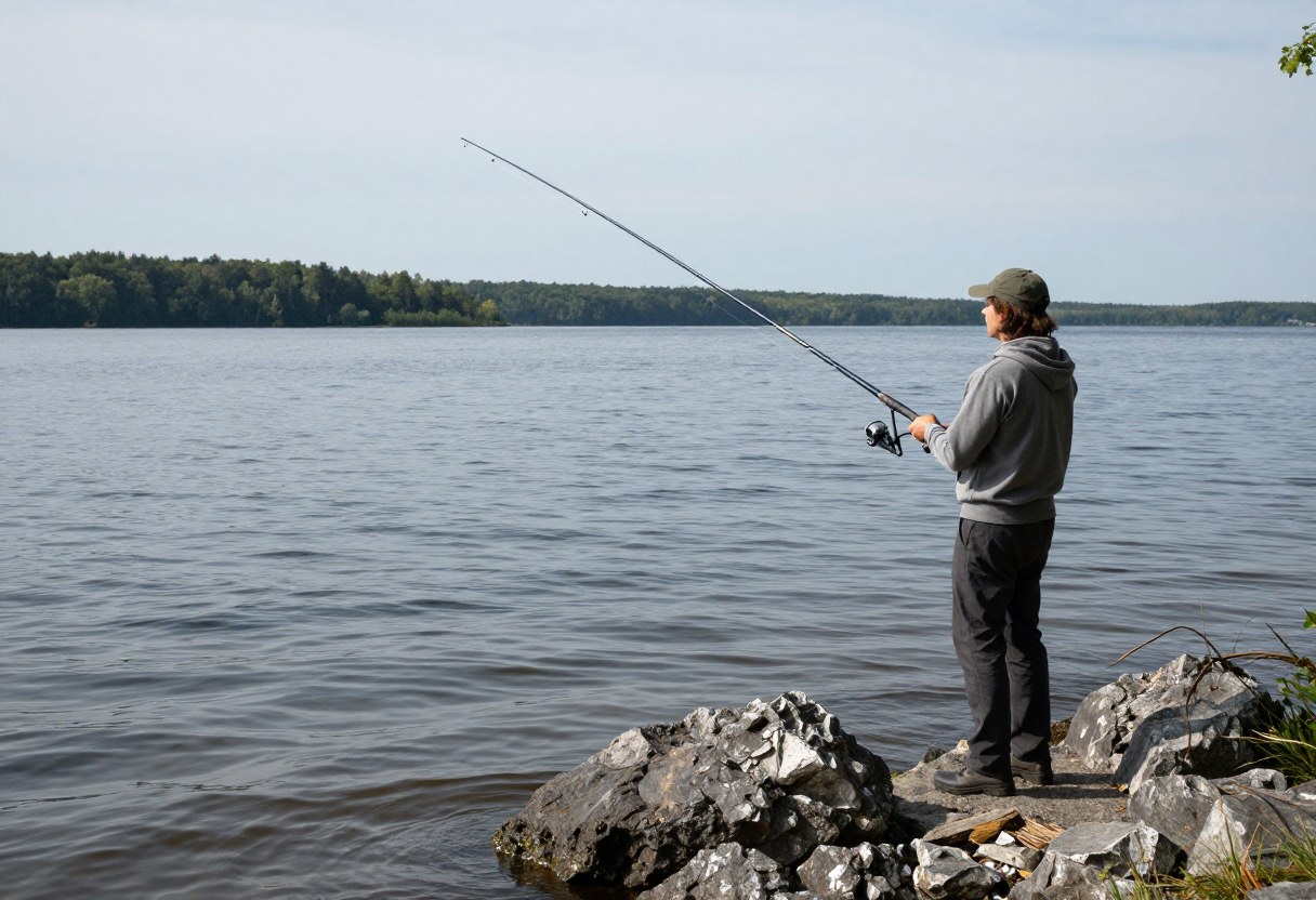
- Weed beds provide oxygen (through photosynthesis), cover from predators, and often concentrate the smaller baitfish and invertebrates that larger fish feed on — making weed edges consistently productive structure across many species and settings.
- The outer edge of a weed bed, where it meets open water, is often more productive than the thick interior — this is another example of the edge/transition principle, giving ambush predators a clear vantage into open water while maintaining nearby cover.
- Gaps, points, and irregular edges within a weed line (rather than a perfectly straight, uniform edge) tend to concentrate fish more than a featureless straight edge, similar to how irregular shoreline structure outperforms uniform shoreline.
5. Rock, Gravel, and Bottom Composition Changes
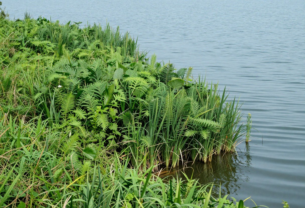
- A change in bottom composition (sand transitioning to gravel, gravel to rock) is itself a form of edge/transition structure, often holding fish even without other visible surface indicators.
- Rock structure holds heat differently than surrounding areas and provides habitat for crawfish and other food sources, making it particularly relevant structure for species like smallmouth bass that feed heavily on crawfish.
- Gravel is often significant spawning habitat for many species, meaning gravel areas can see concentrated fish activity during specific spawning windows even if they're less productive structure the rest of the year.
6. Man-Made Structure
- Docks provide shade, cover, and often food (bait fish schooling near dock lights at night, insects/debris accumulating near pilings) — a genuinely reliable structure type in many lakes and reservoirs, particularly for bass and panfish.
- Bridge pilings create current breaks in rivers and reservoirs similar to natural current-breaking structure, often holding fish for the same energy-efficiency reasons as natural current seams.
- Submerged brush piles, whether natural or intentionally placed by anglers/fisheries management, function similarly to natural weed/timber cover, and are worth noting and remembering if found (via visual observation, local knowledge, or electronics) for future trips.
7. Reading Water Without Being Able to See the Bottom
- Surface clues matter in water too deep or murky to see the bottom directly — current seam lines, subtle surface disturbance patterns, and shoreline structure that suggests underwater continuation (a point extending into the water, for example) all provide information without direct visibility.
- A fish finder/electronics unit removes much of the guesswork for boat anglers, directly showing depth changes, structure, and often fish location itself — a genuinely valuable tool for learning to read water faster, especially in unfamiliar or deep water.
- Local knowledge (bait shops, other anglers, fishing reports, publicly available lake contour maps) can meaningfully accelerate learning a specific body of water's structure compared to trial-and-error alone, especially for a beginner's first few trips to a new location.
Don't Skip This: You don't need to see the bottom to read water effectively — surface current patterns, shoreline structure that logically continues underwater, and available tools (fish finders, contour maps) all provide real information. Beginners often assume reading water requires clear, shallow visibility, but much of the skill applies just as well to water you can't see into directly.
8. Putting It Together: A Practical Approach
- Look for edges and transitions first — current seams, depth changes, vegetation edges, bottom composition changes, or man-made structure — rather than fishing uniform, featureless water.
- Prioritize locations where multiple types of structure overlap (a current seam near a drop-off, a weed edge near a point) — these compound-structure locations are often the most consistently productive spots on a given body of water.
- Adjust your structure priority seasonally, favoring shallower structure in spring and cooler parts of the day, deeper structure in summer heat and winter cold.
- Use available tools (electronics, contour maps, local knowledge) to accelerate learning a specific new body of water rather than relying purely on trial and error for every new location.
Common Water-Reading Mistakes
- Fishing uniform, featureless water out of convenience (easy casting, easy access) rather than seeking out actual structure and transitions.
- Ignoring the "edge principle" and fishing the middle of a weed bed or the flat top of a drop-off rather than the more productive transition edges.
- Not adjusting structure priority seasonally, fishing the same depth and structure type year-round regardless of changing fish behavior.
- Overlooking man-made structure (docks, bridge pilings, brush piles) in favor of only looking for natural features.
- Assuming reading water requires clear visibility, missing the surface clues and tools available for reading water you can't see into directly.
Quick Decision Checklist
- I'm prioritizing edges and transitions (current seams, drop-offs, weed edges, structure changes) over uniform, featureless water
- I'm looking for locations where multiple structure types overlap
- I've adjusted my depth/structure priority for the current season and time of day
- I'm using available tools (electronics, contour maps, local knowledge) to accelerate learning unfamiliar water
- I'm reading surface clues and shoreline continuation logic in water I can't see into directly
Glossary
- Current Seam: The boundary between two different current speeds in moving water, often holding fish on the slower side while food is carried past in the faster current.
- Drop-Off: A depth change, gradual or sudden, whose edge often concentrates fish by providing easy access to both shallow and deep water.
- Point: A shoreline feature extending into the water, creating an underwater ridge with drop-offs on multiple sides, generally productive structure.
- Structure vs. Cover: Structure refers to underwater terrain features (drop-offs, points, bottom composition changes); cover refers to physical objects providing shade/protection (weeds, docks, timber) — the two often overlap but are conceptually distinct.
Final Takeaway
Reading water comes down to a single core principle applied across many specific structure types: fish favor edges and transitions — where current speed, depth, vegetation, bottom composition, or physical structure changes — over uniform, featureless water. Learning to spot these transitions, prioritizing locations where multiple types overlap, and adjusting your structure priority seasonally will put you on productive water far more consistently than technique alone, regardless of species or specific body of water.
Productive structure and fish location patterns vary by specific body of water, season, and species — treat this guide's principles as a transferable framework to apply and refine through your own on-the-water observation.